See subtle changes in the mountains, protecting continuous production.
For open-pit mines, waste dumps, tailings ponds, and engineering slopes, it integrates GNSS, deep displacement, crack, rainfall, and water-level monitoring to continuously observe risk evolution in GIS and 3D scenes.
Discuss My Monitoring Plan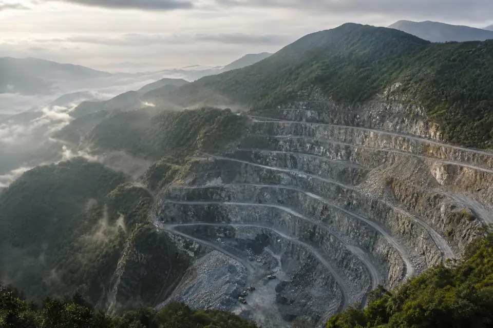
First understand the site,
then organize monitoring data.
Slope measurement points are dispersed and communication conditions are complex. Surface displacement and deep deformation also need to be understood together with rainfall, water levels, and mining conditions. The platform needs to track both slope changes and the online status, battery level, and data quality of the equipment itself.
What to measure, how to connect, and how to analyze it.
Analyze horizontal and vertical displacement, rate of change, and displacement direction.
Organize deformation data by profiles, monitoring zones, and geological zones.
Compare rainfall, pore-water pressure, and deformation changes on the same timeline.
Use device status to support remote verification and trigger linked alerts according to authorization policies.
Integrate sensors, monitoring instruments, and gateways from various manufacturers. Verify the device model, accuracy, protocol, and actual adaptation scope during the solution phase.
Keep monitoring projects running through professional workflows.
Model benches, slope faces, cross-sections, and risk zones
Integrate displacement, hydrological, meteorological, and device status data
Configure tiered thresholds and rules combining multiple indicators
Use GIS / oblique photography to locate alerts and generate inspection references
See the process clearly,
and deliver results.
International projects must determine monitoring plans based on the laws, standards, and owner requirements of the project location. The Chinese standards mentioned on this page are provided only to illustrate relevant engineering scenarios and do not represent direct applicability in other countries or regions.
Mining & Geotechnical Slopes: FAQ
Let's work through your questions, from integration to delivery.
Discuss Project RequirementsWhat if network connectivity at the mine is unstable?
5G, NB-IoT, wired communication, or on-site gateways can be evaluated during integration design. The ability to retransmit data after interruptions and store data locally depends on the actual equipment and gateway and must be verified before integration.
Can measurement points be placed on an oblique photogrammetry model?
Supports associating measurement points with GIS, 3D models, or oblique photography scenes. Model files, the coordinate reference system, and measurement point coordinates are required to complete location and data mapping.
Turn your site requirements, into a monitoring project that can be implemented.
Starting with the monitoring parameters, equipment, and deliverables for your mine or slope, we work with you to develop a detailed solution.